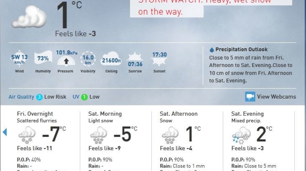
A Colorado Low is expected to bring heavy snow, mixed precipitation and an area of rain to Southern Ontario this weekend.
Snow fall is expected to reach between 10-20 cm, depending on your area. Meteorologists say this system is complicated because it’s expected to tap into some Gulf moisture and warmth. That means the exact track of the storm will determine the type of precipitation that falls in your area, however the precipitation is expected to begin as snow, switch to rain with a chance of freezing rain as temperatures rise, and return to snow Saturday night and evening.
We are expecting sloppy/slushy travel on most highways and roads. Please show caution while driving.
Operations Update
Our snow removal crews’ priority will be to cycle through our properties to clear snow or slush from major entrances, roadways and storm drains with the use of plows to allow traffic flow and access by emergency vehicles. Once the rain begins, all salting will be stopped as the rain will wash away any salt we apply.
Once the storm tapers off, we will return for a final clean up, and the salt trucks will then be dispatched to required properties. We will then complete all driveways, walkways and throughways based on your contract specifications.


